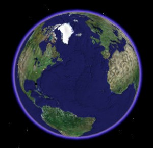
 The search engine giant has released another update for Google Earth users that should please those who enjoy hiking, biking and running in the out doors (especially over long distances).
With Google Earth 5.2, you can now import existing GPS data as a new kind of “track.†With a track, you can move the time-slider to animate time and retrace your journey. Google Earth will draw an icon so that it is properly positioned for the given time that you are viewing. As you move through time, the icon will animate along your path. You can also select a window of time which will highlight the corresponding section of your trip.
In Google Earth 5.0, we introduced Tours: cinematic, narrated flights around Google Earth. With one click you can make a tour based on your track, which will fly you along your journey from a bird’s-eye view. You can play back the tour like a video and share it with friends. (Official Google LatLong Blog)
By integrating tracks with their 3D software, Google Earth will once again become a highlight among bikers, runners and hikers (who often like to brag how far and fast they have traveled on a particular route or trail, this author included).
Google has provided a video demo (which they presented on an earlier post) that highlights the track feature in action.
This latest move should help position Google ahead of its rivals (most notably Microsoft), as well as compliment their previous move of adding biking trails to Google Maps.
Now if only the Google team could port this feature to their native iPhone app then my geek life would be (almost) complete.
Originally posted on June 14, 2010 @ 7:14 pm
